Your actual boat height
Rivers & Seas compares the stored height of your boat with the expected available clearance.
Boat navigation for El Gouna
Rivers & Seas combines your boat height, travel time, and the tide prediction. Before leaving Bayoud, see when to set off so your boat is still expected to clear the lowest bridge on the way into the lagoons.
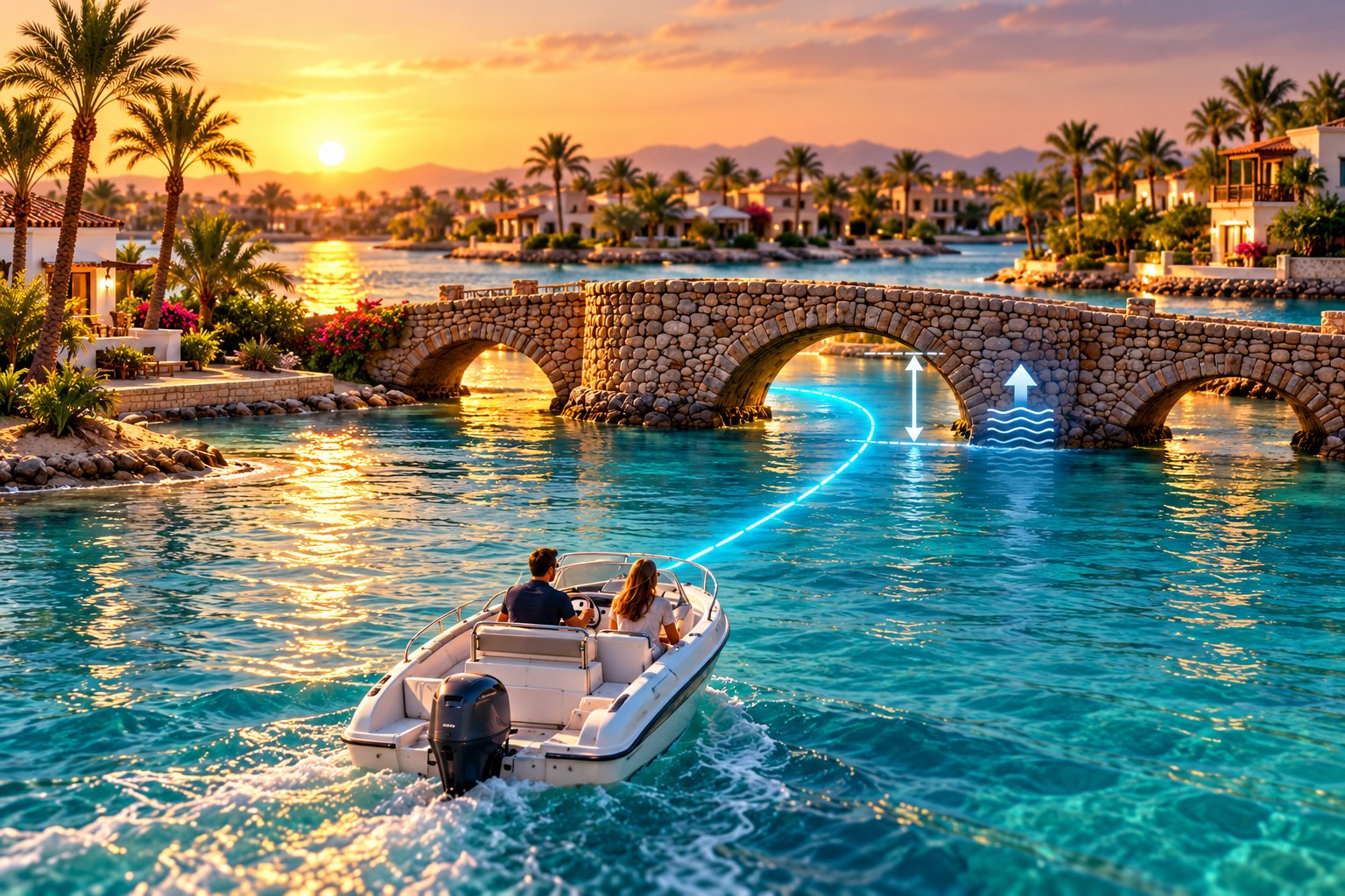
Your boat. Your Track. Your departure time.
A fixed bridge height tells only part of the story in El Gouna. What matters is the space left between the water and the bridge when you are expected to arrive and whether it fits your boat.
Rivers & Seas compares the stored height of your boat with the expected available clearance.
The prediction is applied to your travel time along the Track, not just to the water level right now.
Instead of calculating several bridges yourself, see the time window for leaving the Track start.
From Bayoud back to Sabina
Open the saved Track and choose its direction. Rivers & Seas shows the lagoon journey in the order in which you will reach the bridges. At every calculable place, see the expected clearance and suitable passage window.
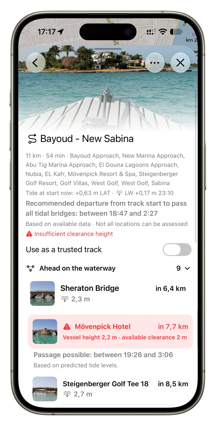
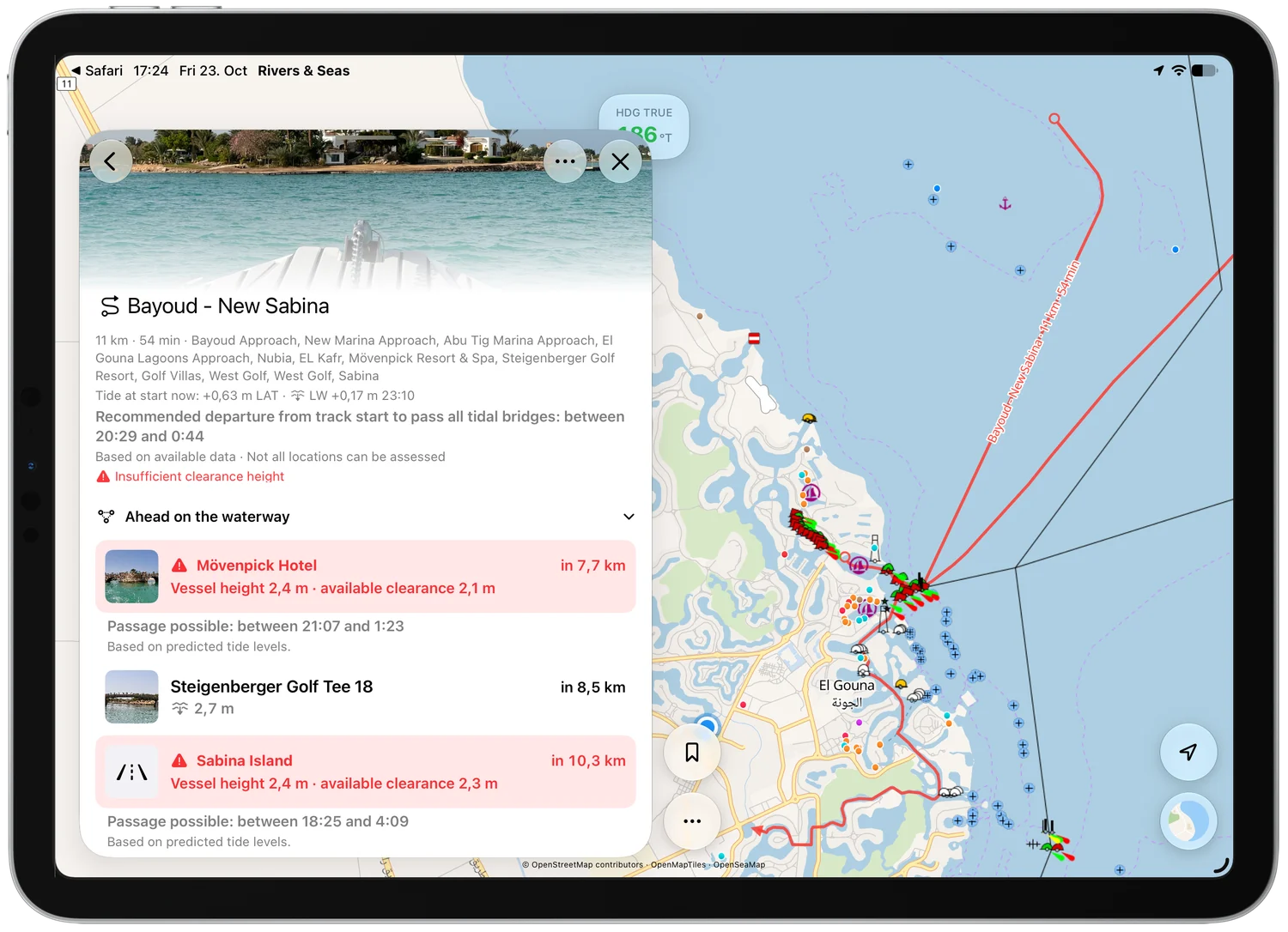
Keep a relaxed afternoon relaxed
The app does not consider only the next bridge. It combines the calculable low bridges along the whole Track into one departure window. You can tell early whether there is time to stay or whether you should start back towards the lagoons now.
When you are on or near the Track, Rivers & Seas calculates from your current position. When planning farther away, the calculation begins at the Track start.
More than a tide display
Beyond bridge clearance, Rivers & Seas helps you prepare the passage through El Gouna and the coastal waters around it.
See the predicted tide at your current location and put charted depths into better context.
Marine depths, fairways, and OpenSeaMap marks support orientation between the lagoons and the Red Sea.
Saved or received Tracks show the exact course through known, trusted passages.
Photographs, available dimensions, and distance appear in the order in which you will reach each place.
When the expected clearance does not fit your boat, Rivers & Seas highlights the affected bridge clearly.
Compact information on iPhone or a large map and overview on iPad.
Three simple steps
Enter the height your boat needs to pass safely beneath a bridge in the boat profile.
Open the Track from Bayoud to New Sabina, for example, and select the return journey into the lagoons.
Read the combined departure window and expected available clearance at each bridge.
The calculation uses available bridge data and tide predictions. Check the actual situation and follow local rules and signs.
Before the tide rises
Store your boat height, open the Track, and see the departure window for El Gouna’s bridges.