Just set off
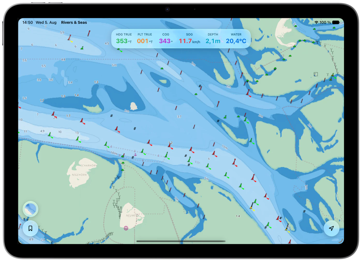
Follow your position while Rivers & Seas automatically updates the waterway ahead as you cruise.
The boating map where everything comes together
Rivers & Seas combines OpenSeaMap marks, depths, your position, and AIS with Waterway Ahead. Inland, bridges and locks appear automatically; along the coast, depths, navigation marks, and satellite imagery remain close at hand.
Live in your browser
Move around the real map and see OpenSeaMap navigation marks together with available AIS targets. Use the round map button to switch to Seascape depth shading, the automatic day-and-night map, or satellite imagery.
Tap a place to mark it and share it as a link.
More than an OpenSeaMap viewer
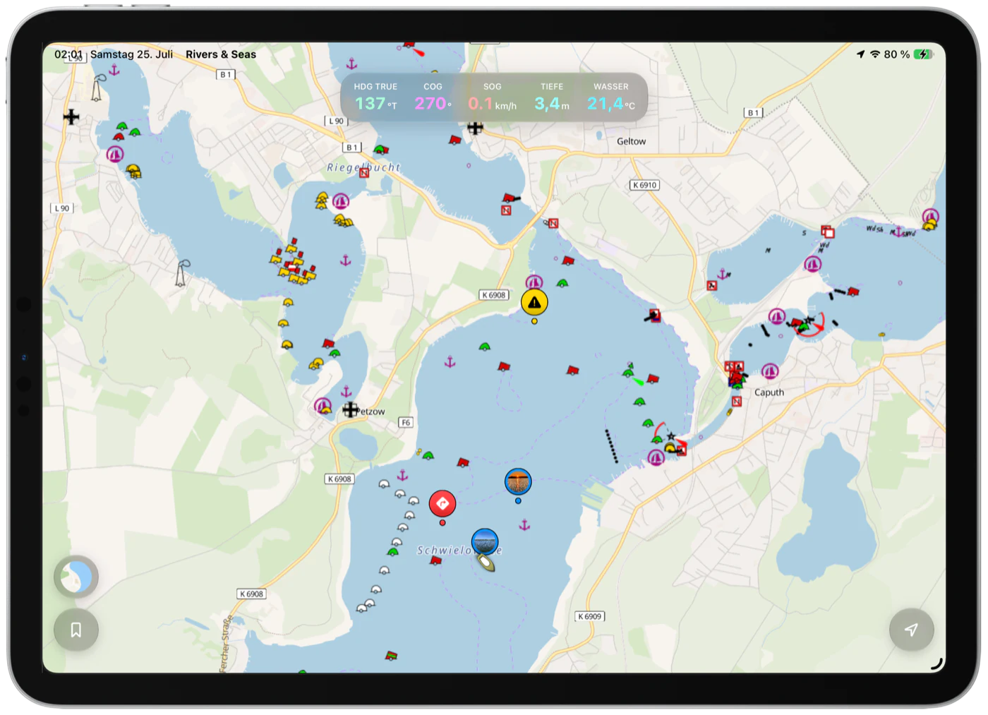
OpenSeaMap supplies the nautical context and OpenStreetMap shows life ashore. Rivers & Seas turns them into a map for cruising, with AIS targets and, on supported waterways, bridges, locks, and notices ahead.
Follow your position while Rivers & Seas automatically updates the waterway ahead as you cruise.
Available AIS targets sit on the map instead of requiring a separate radar app.
Bridges and locks inland, depth shading and satellite imagery at the coast, without changing apps.
More than an OpenSeaMap viewer
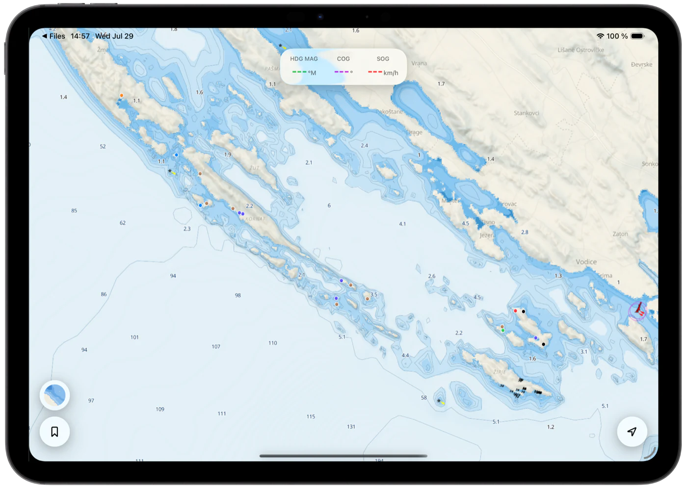
For marine and coastal areas, Rivers & Seas also offers a depth-focused map with color-shaded water, depth contours, and spot depths. Shallow areas stand out immediately while sea marks and current boat data remain visible.
The depth view is available for marine and coastal areas. It supports orientation but does not replace official nautical charts or safe navigation.
Places no map can choose for you
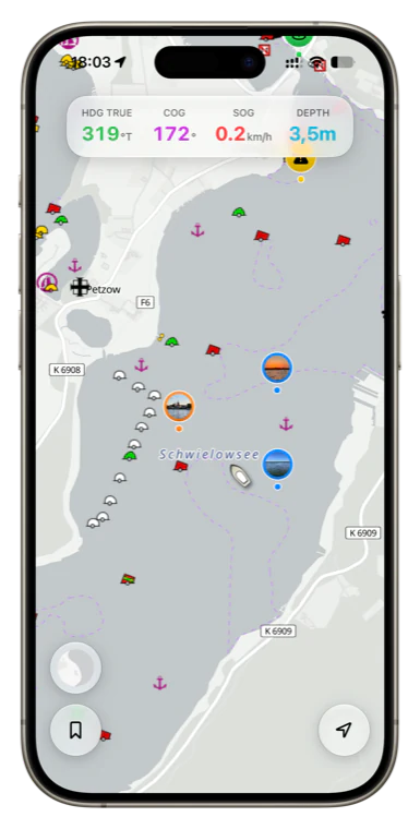
A peaceful spot, a tricky passage, or the restaurant for your next stop ashore: place a bookmark directly on the map and add a name, notes, photos, a symbol, and tags. Filter your places so the map shows exactly what matters right now.
Save it once. Find it everywhere.
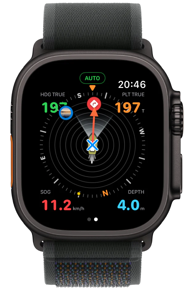
Plan comfortably on Mac or iPad, take your places along on iPhone, and see nearby bookmarks in the compass on Apple Watch. Rivers & Seas keeps your collection in sync through iCloud—without exporting, copying, or maintaining it twice.
No annual chart subscription
The public beta is free. The finished app is planned at one fixed purchase price, including every map view and feature.
Try it now
Open the map directly in your browser or install the free public beta on iPhone and iPad.