Make a calmer approach
Pale sand stands out from darker seagrass and rocky ground. You know earlier which area you want to approach instead of searching at the last moment.
Satellite maps for boats
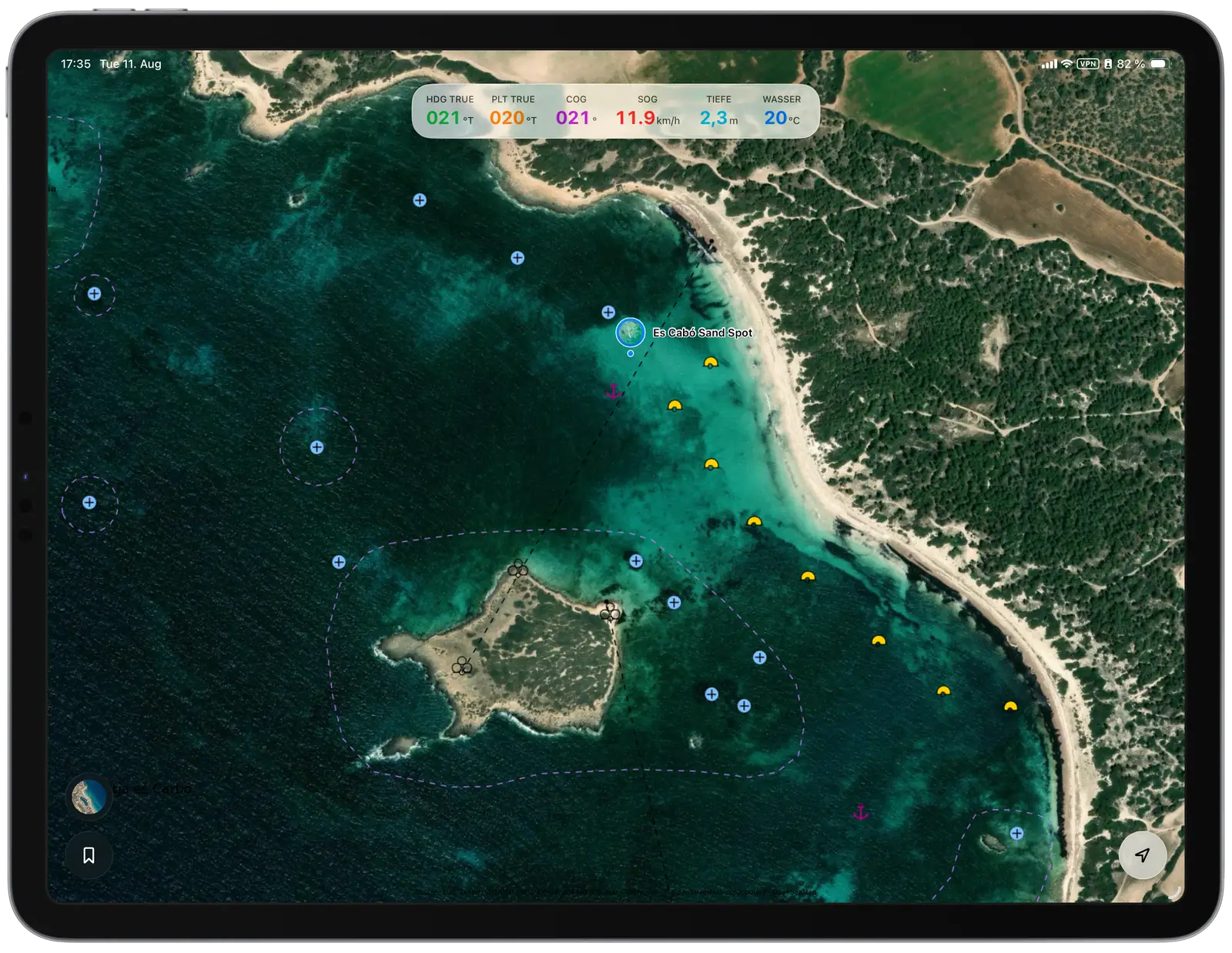
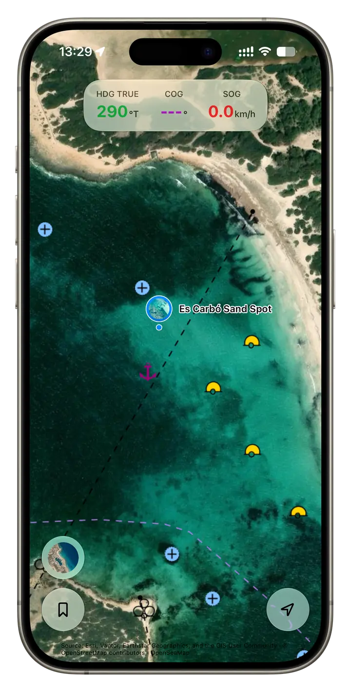
Rivers & Seas combines high-resolution satellite imagery with navigation marks, hazards, and chart lines. You can tell sand, seagrass, and rocks apart without switching between Google Maps and a boating navigation app during the approach.
A real anchorage in Mallorca
You enter an unfamiliar bay where pale sand, dark seagrass, and scattered rocks lie close together. From the helm, the right patch can be difficult to judge – and this is not the moment to compare two different maps.
Rivers & Seas keeps everything in one calm, readable view. Satellite imagery shows the seabed, while navigation marks, rocks, hazards, and chart lines remain visible above it. You can identify a suitable area earlier, make a calmer approach, and return your attention to the water sooner.
The real anchoring spot on the map
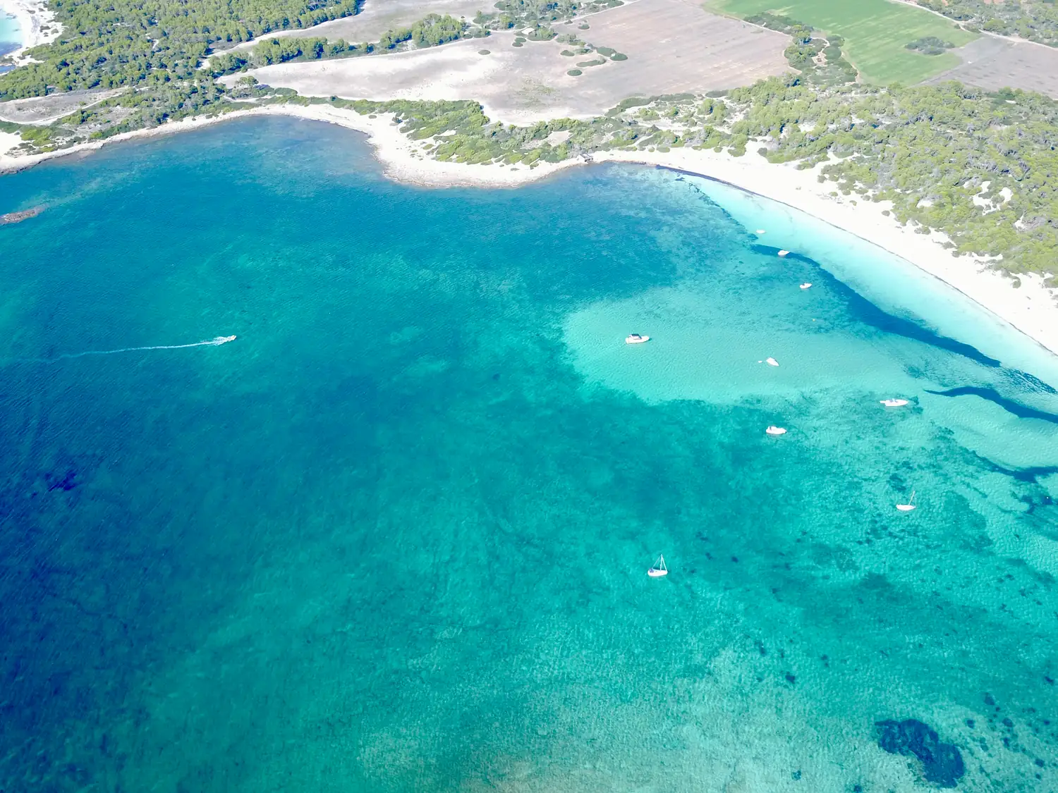
Pale sand, dark seagrass, and nautical information appear together in one view. You can study the right area calmly before approaching it with your boat.
Like Google Maps for boats – built for this moment
Satellite imagery shows what the bay really looks like. A boating navigation app shows what matters on the water. Rivers & Seas brings the two together.
Pale sand stands out from darker seagrass and rocky ground. You know earlier which area you want to approach instead of searching at the last moment.
Buoys, rocks, hazards, and important lines remain visible over the satellite image. Less switching means less distraction when your attention belongs on the boat and its surroundings.
Save the sand spot as a bookmark with a photo and note. Your personal map will guide you back next time – on iPhone and iPad.
The difference becomes clear at the anchor
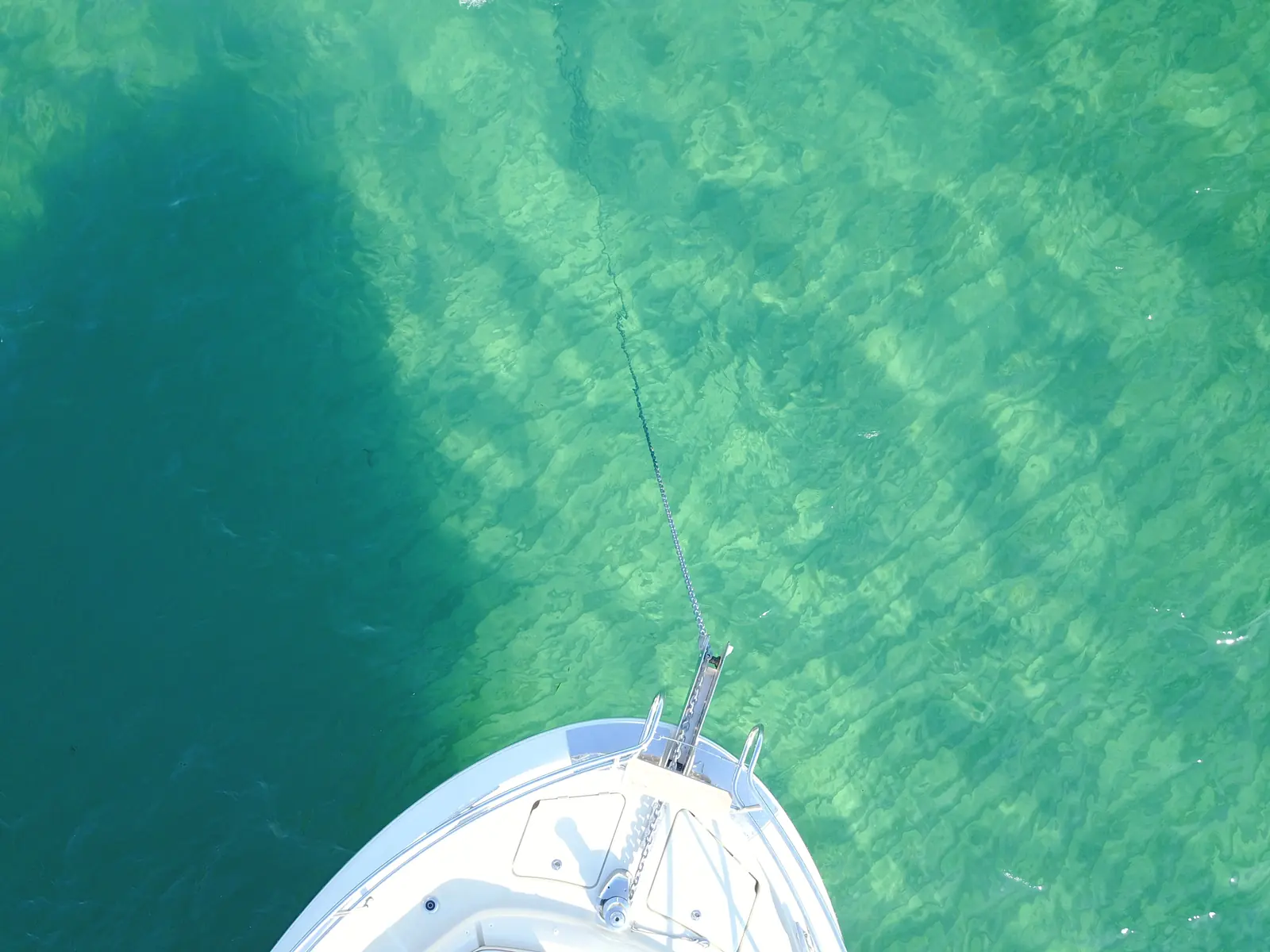
On the chosen sand patch, the anchor lands on pale, clear ground. The manoeuvre is easier to understand, the holding feels more reassuring, and sensitive seagrass beds are easier to avoid.
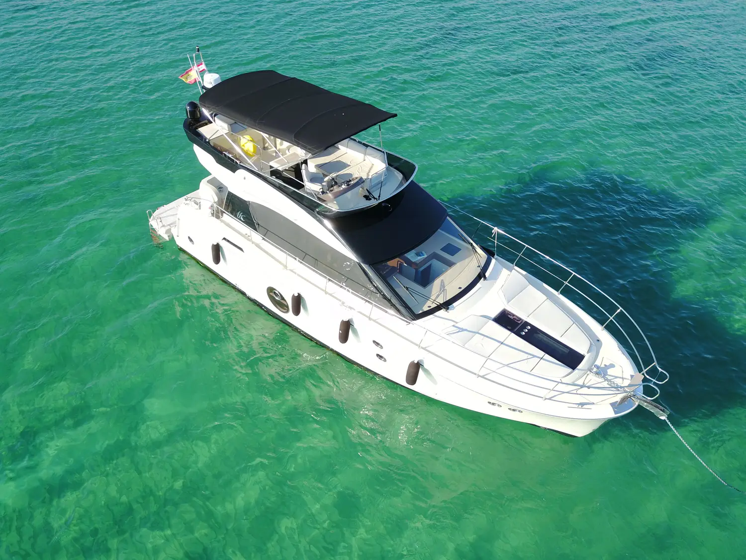
More than a beautiful aerial image
Anchoring calls for a clear view, a calm approach, and as few distractions as possible. Your boat position, saved places, and nautical information therefore stay directly over the satellite image. There is no need to piece the situation together from several apps, so your attention can return to the wind, the water, and your boat sooner.
Your next sand spot is already out there
Rivers & Seas is available as a public beta. Open the satellite map, keep the nautical context in view, and save good anchorages for your next visit.