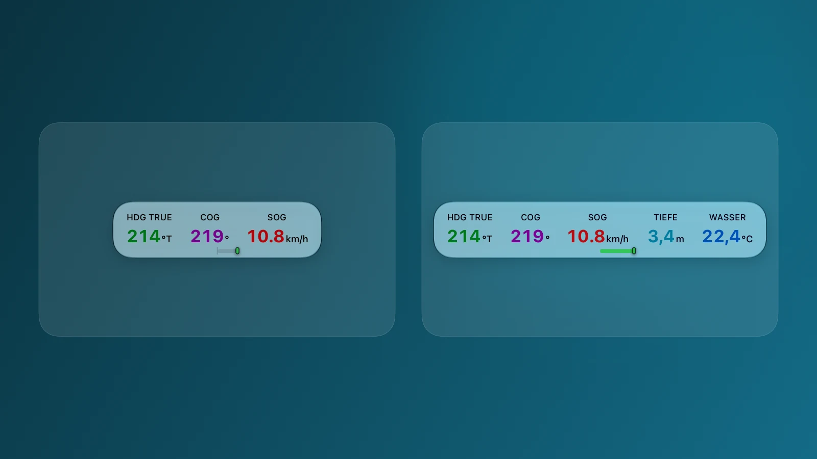
What the dashboard tells you straight away
The large, colour-coded values let you understand the trip with a quick glance. There is no instrument menu to open.
HDG – where your device points
In normal use, HDG follows the compass in your iPhone, iPad, or Apple Watch. With Signal K, it can instead show the boat’s actual bow heading from the onboard instruments.
COG – where you are actually going
Course over ground. Wind and current can make it differ from the direction of the bow.
SOG – how fast you are making progress
Speed over ground. It shows your actual movement across the map.
Ready to use with iPhone or iPad
Rivers & Seas uses the device compass and position from your iPhone or iPad. You can see the direction of the device, course over ground, and speed on any boat, with no additional onboard equipment.
If your iPad has no built-in GPS receiver, Rivers & Seas can use the accurate position from your iPhone instead.
Signal K makes the dashboard even better
When Rivers & Seas is connected to Signal K on the boat network, the dashboard also uses your existing instruments. Depending on the equipment aboard, depth, water temperature, and other values appear as well. HDG can then show the boat’s actual bow heading from its heading or compass sensor.
When the autopilot is active, PLT TRUE shows its target course. Available values appear automatically, so there is no dashboard to rebuild before each trip.
The turn indicator: see the boat begin to swing
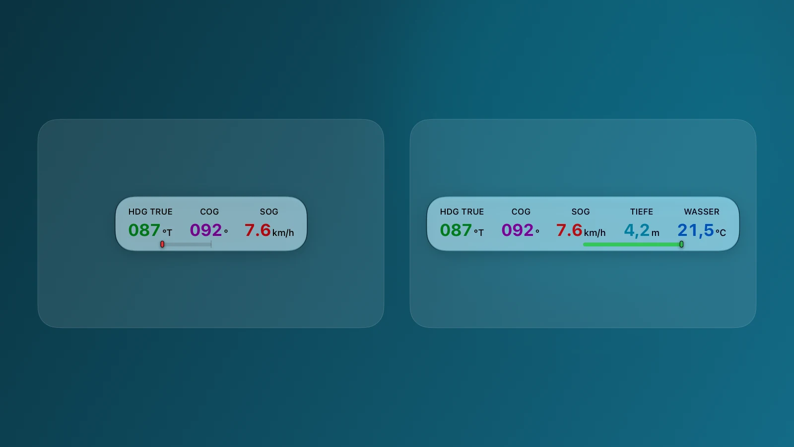
The small marker below the dashboard shows how your boat is actually turning. Red means port and green means starboard. The farther it moves from the centre, the faster the boat is turning.
This is especially helpful when berthing, in confined waters, and during small course corrections: you can see the boat’s response as it begins. The marker disappears when the boat is travelling almost straight, keeping the dashboard calm.
The turn indicator uses the sensors in your Apple device. With Signal K, Rivers & Seas can instead use turn-rate data from the boat network when available, or derive it from the boat’s heading sensor.
The wide line shows rudder position
If your boat provides rudder position through Signal K, an additional wide red or green line appears. It shows the side and approximate amount of rudder applied.
Rudder position and turn rate do not have to match: the rudder may already be over before the boat noticeably responds. Wind, current, and speed through the water also affect the actual turn. That is exactly why seeing both together is useful.
If a value is missing
Three dashes mean that no sufficiently current and reliable value is available. Rivers & Seas would rather show nothing than an old reading.
If a basic value is missing, first check that Rivers & Seas may use Location and the compass. If you use Signal K, also check that the instruments aboard are switched on and Rivers & Seas is still connected to the boat network. The value reappears automatically as soon as current data arrives.